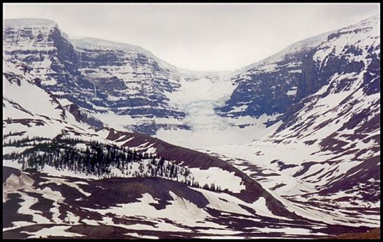
Columbia Icefields This link has information from 1999, so it is pertinent to the time of this photo.
The Columbia Icefield is the largest icefield in the Canadian Rockies, covering some 230 sq km (89 sq mi) to a depth of 365 m (1,200 ft) and some 28 km (17 mi) long. Draped over the continental divide on a high alpine plateau along the Alberta-BC border, it receives an average of 7 m (23 ft) of new snowfall per year. Not all of that snow can melt in the short summers so it accumulates, turning to ice which flows outward through the surrounding passes, creating fingers of ice known as glaciers, the Athabasca Glacier being the most well-known.
 |
 |
 |
||
| << Previous | 1996 Rocky Mountain Tour | Next >> | ||
Recreated and uploaded July 31, 2021
Photo album created by M. M. Meehan
created with Web Album Generator